
Beschrijving
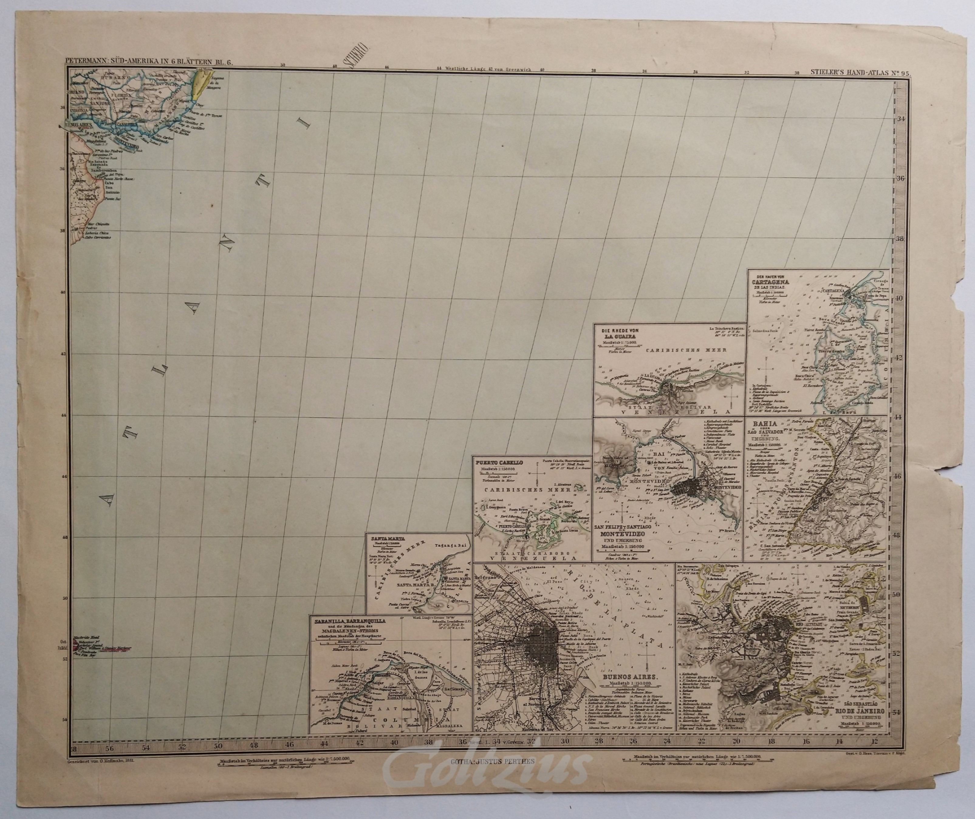
A sea chart of the Atlantic Ocean near the coast of Bueons Aires (Argentina) and Montevideo (Uruguay). With nine inset maps in the lower right: city plans and depth charts of cities around this area (Cartagena, la Guaiara, San Salvador, Montevideo, Rio de Janeiro, Buenos Aires and three others.
Outline coloured engraving on wove paper, sheet size 377 x 459 mm. The map was designed by O. Koffmahn, and engraved by O. Hess and F. Kögel. The map was printed and published by Justus Perthes, Gotha, c. 1881 (date of the design).
In good condition. A number of small nicks and creases in the margin edges (reinforced and closed with acid-free archival tape). Two faint creases in the left edge of the image area.
