Beschrijving
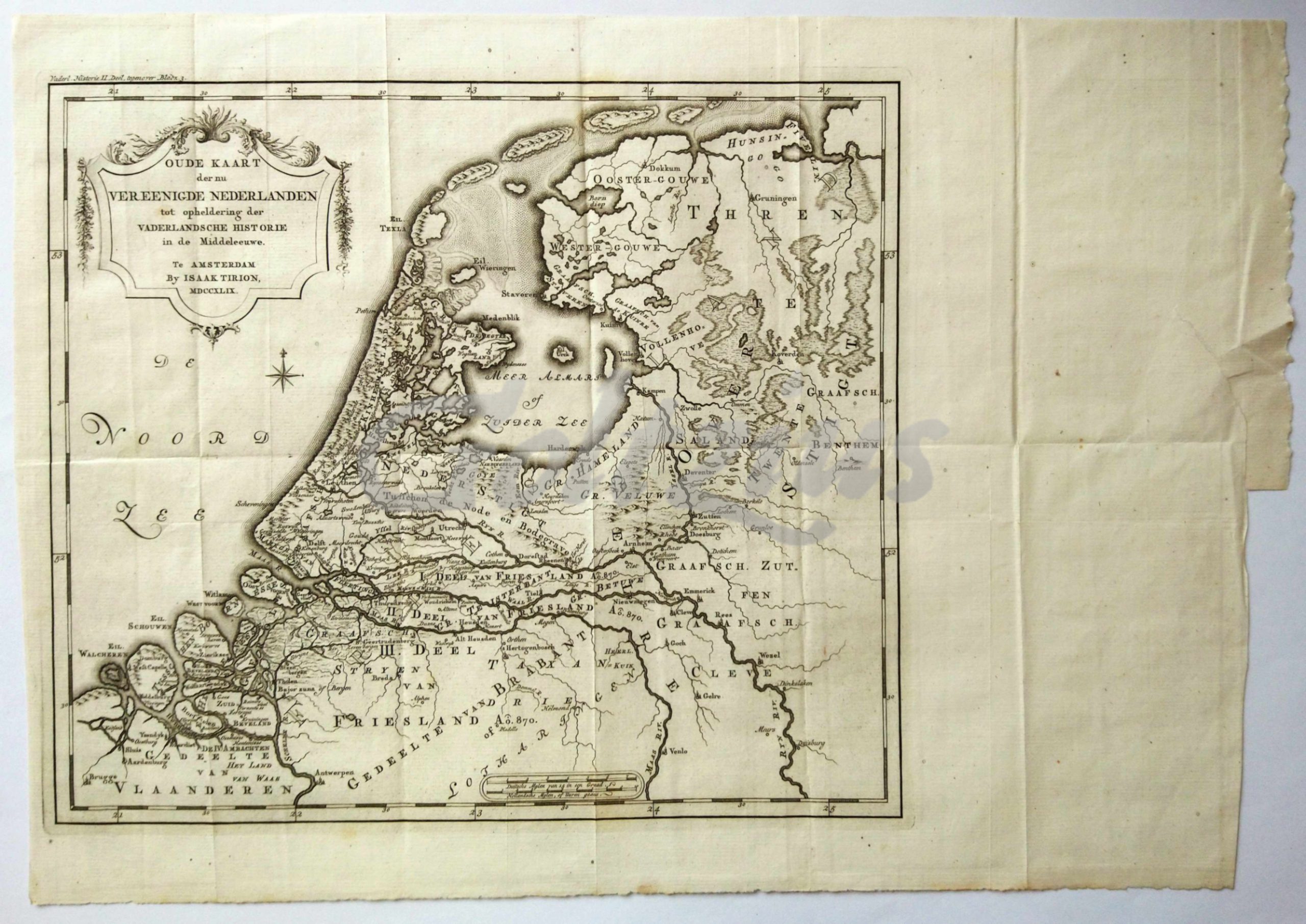
Historical map of the Netherlands.
Engraving on hand laid paper, sheet size 478 x 333 mm., platemark 328 x 288 mm. Engraving published by Is. Tirion in Amsterdam, 1749. This map originates from the multi-volume publication 'Vaderlandsche historie, vervattende de geschiedenissen der Vereenigde Nederlanden', volume 2, Amsterdam: Is. Tirion, 1749.
In very good condition, multiple folds, as issued. A tear in the far right margin, closed with archival tape.


