Beschrijving
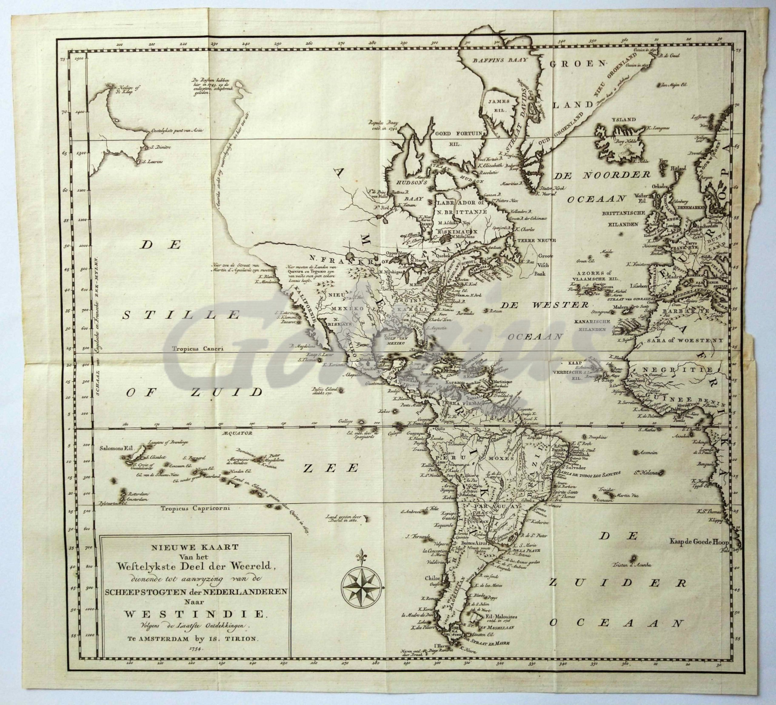
Map of the western hemisphere, showing the Americas, and a part of Europe and Africa in the right edge. The coast of the South American continent is mostly complete, but North America shows only the east coast.
Engraving on hand laid paper, sheet size 394 x 363 mm., platemark 375 x 347 mm. Engraving published by Is. Tirion in Amsterdam, 1754. This map originates from the multi-volume publication 'Hedendaagsche Historie, of Tegenwoordige Staat van alle volken', published by Is. Tirion.
In very good condition, multiple folds, as issued. Faintly browned right edge, and some paper loss in the right margin.


